GeoAutomation® offers cutting edge surveying solutions
Guaranteed Quality & Best Prices!
Contact us for a personalized demo.
Image Surveying
Survey with high accuracy all points on your computer. We guarantee consistently accurate <2" precision. It doesn't get easier than this.
Efficient. Everywhere.
Contrary to alternative surveying methods our solution does not rely on GPS. GeoAutomation® covers areas with or without GPS reception such as dense urban areas, tunnels and tree covered regions.
Safe & Convenient
Mapping solutions eliminate the need to stop traffic or walk on hazardous fields. We allow you to survey from the safety and convenience of your desk.
What We Cover

Urban areas
We do not rely on GPS. We are not afraid to map downtowns.
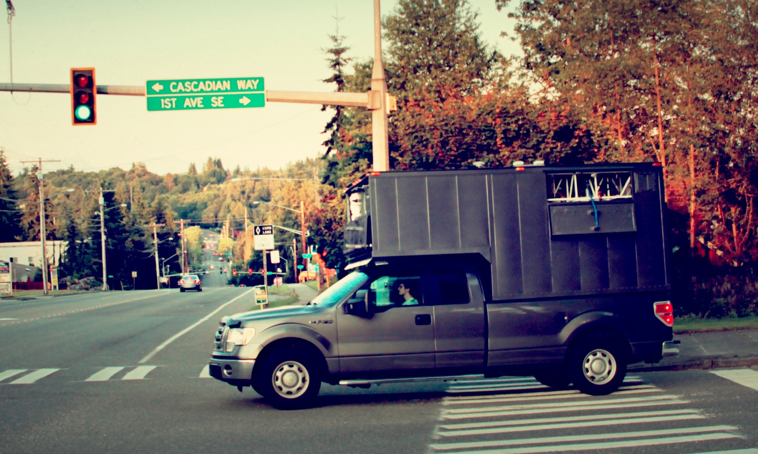
Highways & Off-road
Our mobile mapping vehicles can drive at speeds exceeding 60 mph.
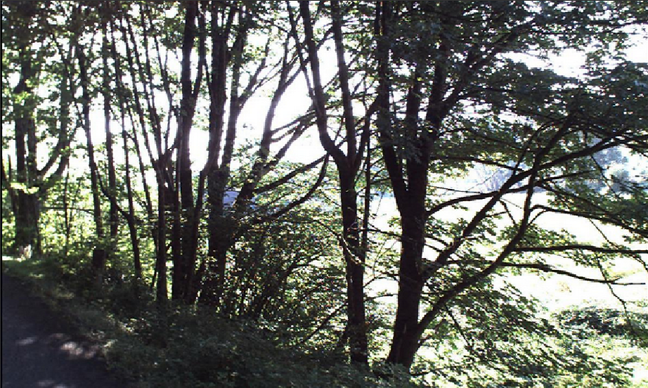
Tree-covered areas
We cover mountainous tree-covered terrain with ease.
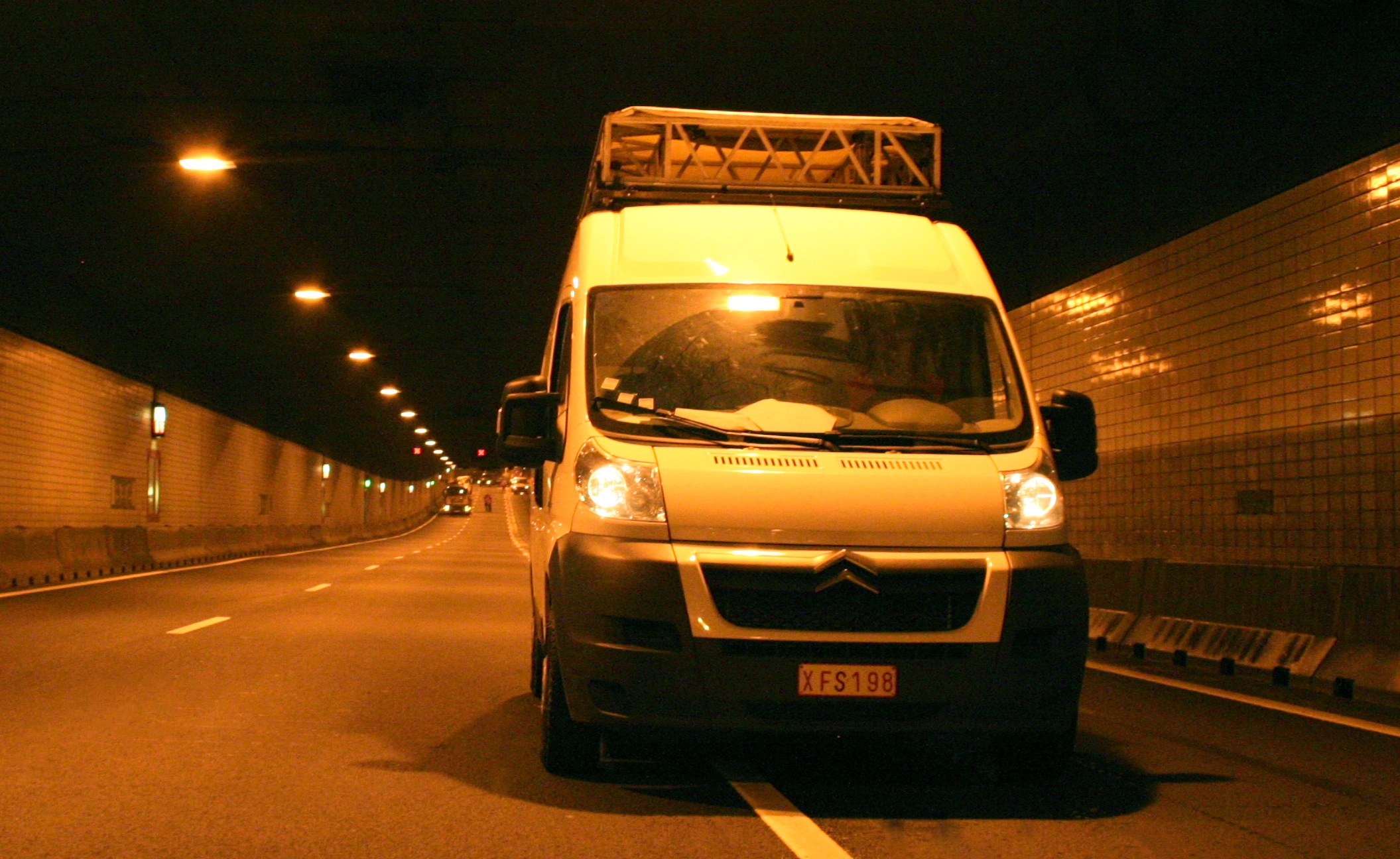
Tunnels
You do not need to stop the traffic. Just drive.